The quarter-hour city: a model for transforming suburban areas and our habits
- Science and society
- Research
- Sustainable Development
on the July 4, 2025

Imagine being able to do everything in less than fifteen minutes from home: go to school, work, do your shopping or relax in a park. It's the "quarter-hour city".
On the occasion of World Population Day, July 11, 2025, Giovanni Fusco, researcher at the ESPACE laboratory, shares the latest scientific advances on the cities of tomorrow.
Giovanni Fusco, researcher at the Étude des Structures, des Processus d'Adaptation et des Changements de l'Espace laboratory (ESPACE - Université Côte d'Azur, CNRS, AMU, Avignon Université) is developing the EMC2 compact, meshed and evolutive model to adapt this concept of the "quarter-hour city" to suburban areas, which are often car-dependent, with the aim of creating lively, pleasant and pedestrian-friendly main streets, with numerous local services.
What solutions are envisaged?
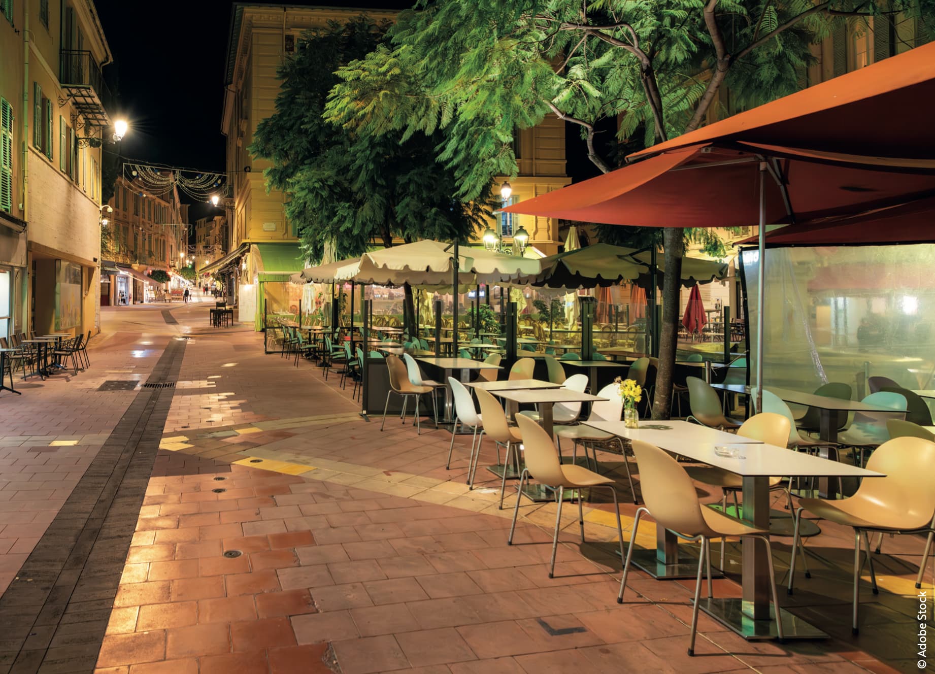
To achieve this, the EMC2 model proposes to reorganize the main roads into lively streets. The researchers then set out to identify peri-urban areas that could match or move towards the EMC2 model. To do this, they worked with databases such as Open Street Map. The city of Nice and its surrounding area was used as a testing ground: of the 80 villages identified between the Esterel massif and the Italian border, 44 had a structure ideal for this type of research.
Like the town of Drap, which already corresponds in part to an EMC2 model, with a linear main axis running north-south, parallel to the Paillon river, and housing within a fifteen-minute walk. What's more, the main streets linking homes and shops are dynamic and easy to navigate on foot.
Recommendations
The EMC2 model proposes that essential services - such as small shops, schools and work - should be accessible within 15 minutes, even in peri-urban areas.
To understand what works and what doesn't, the researchers use several methods: they analyze the shape of towns, study the shops and services present, observe the way people get around and assess the quality of public spaces.
In Drap, they examined 32 streets and demonstrated that the presence of "active facades" (such as shop windows, terraces or stalls), encouraged walking and social interaction. On the other hand, narrow sidewalks, the absence of bicycle lanes and few trees on certain roads create an imbalance and hinder the user-friendliness of these spaces.
The researchers go even further by observing the behaviour of passers-by:
-
How fast do they walk?
-
Do they take the time to stroll, or are they in a hurry?
-
Do they stop to chat or look at shop windows?
By compiling this data, they map usage patterns and suggest areas for improvement. For example, they suggest rebalancing public space by reducing the role of cars to create safer, more pleasant streets for pedestrians.
The ultimate aim is to create a practical guide for local authorities, to help them rethink their cities and identify axes with the potential to become lively main streets.
Article produced as part of the second issue of INTERVALLE, the magazine of the Science and Society department , thanks to the participation of :
Giovanni Fusco, researcher at the Étude des Structures, des Processus d'Adaptation et des Changements de l'Espace laboratory (Université Côte d'Azur, CNRS, AMU, Avignon Université)
Discover the two issues of INTERVALLE magazine